 AppRank
스크린샷




설명
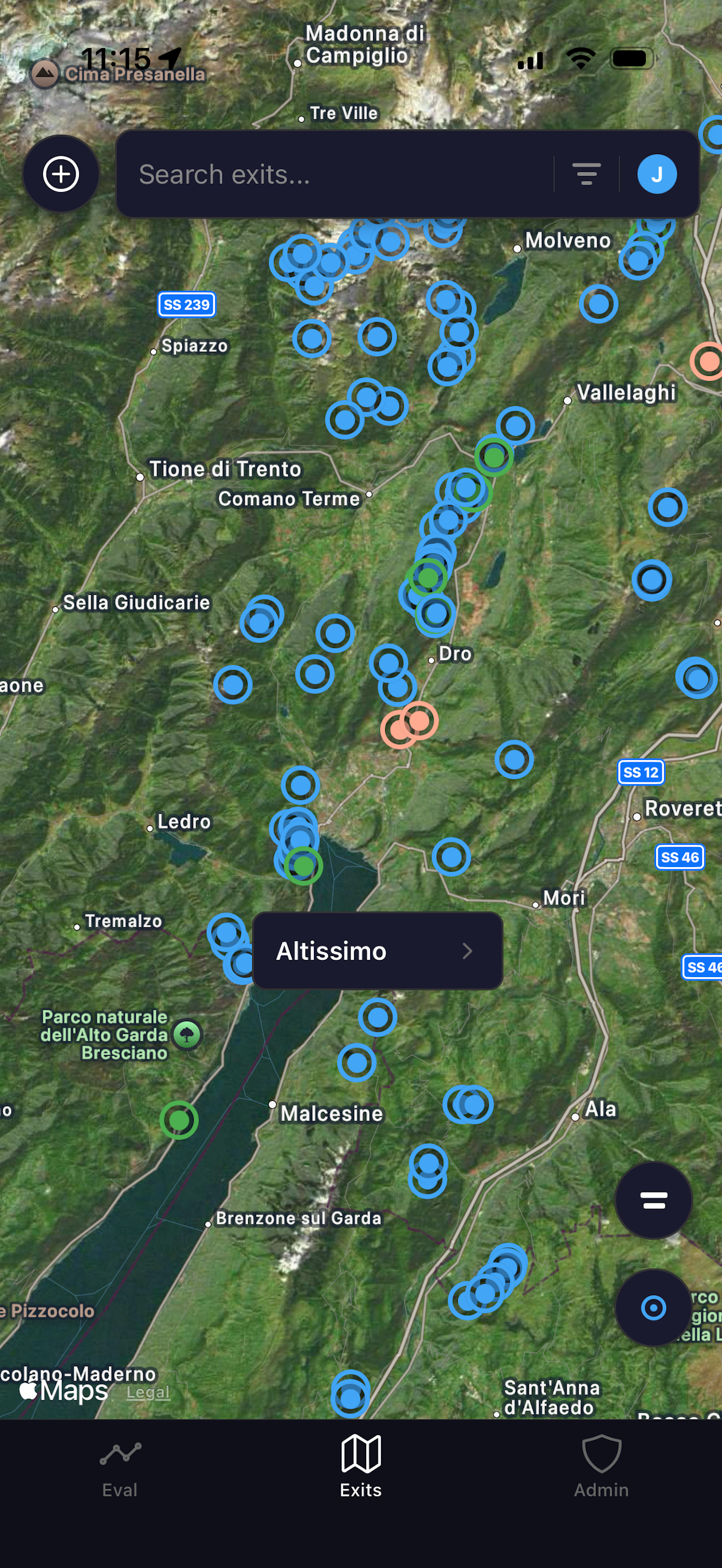
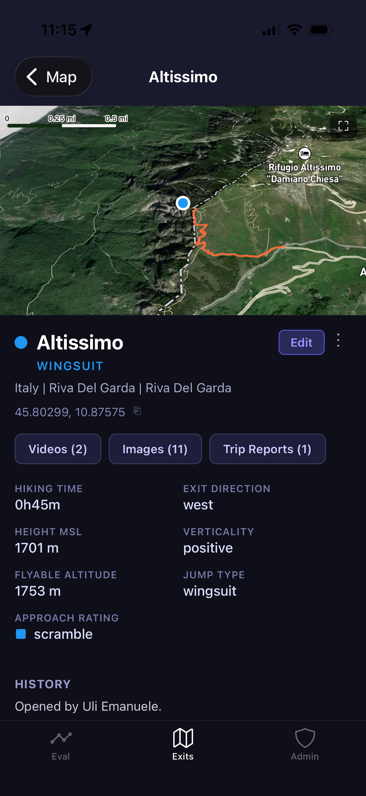
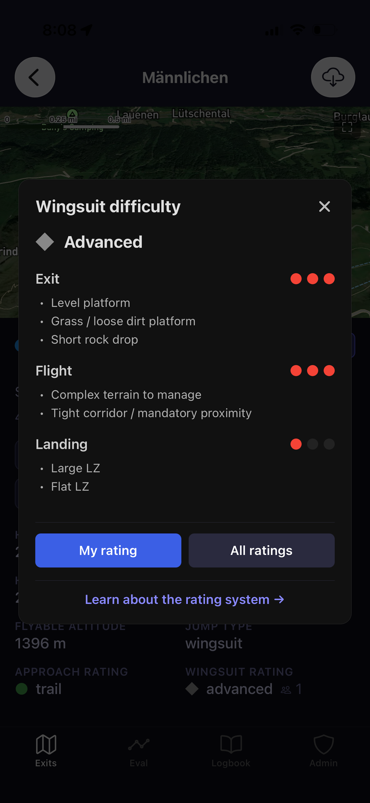
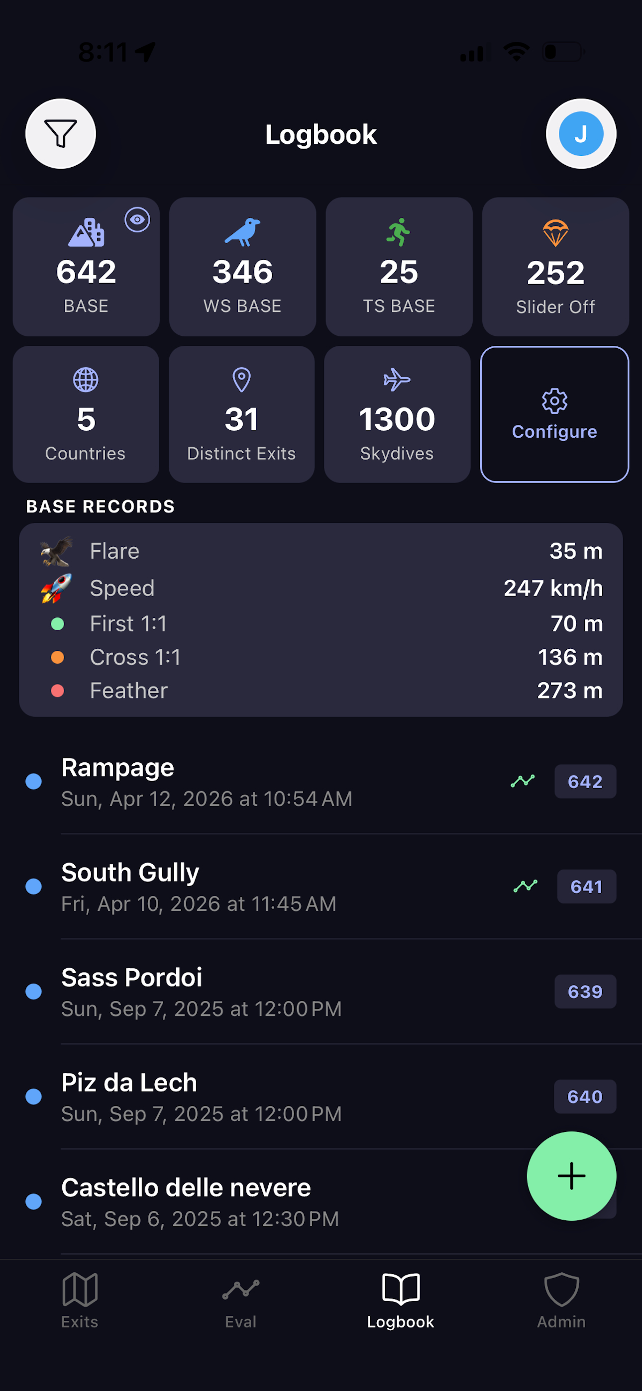
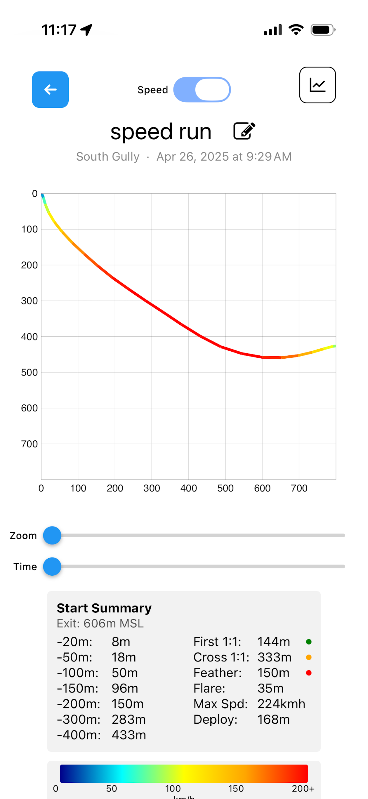
ExitEval is a comprehensive tool for BASE jumping and freeflight, with a global map of 2,000+ BASE exits and 2,000+ freeflight launches, integrated logbooks and flight tracks, wingsuit exit evaluation tools, and full offline support. MasterMap: Global Exit & Launch Database Explore more than 4,000 community-mapped BASE exits and paragliding/speedflying launches around the world. Find videos, photos, approach details, terrain profiles, tracks, descriptions, and other local beta on an interactive satellite map. The original BASE dataset was provided by Brendan Weinstein through his work on BaseBeta. Logbook Keep your BASE jumps and flights in one place. Record locations, conditions, notes, and other details from each. FlySight Tracks Import and view your FlySight tracks in the field, including Bluetooth import from FlySight 2. Exit Profiles & Evaluation Evaluate wingsuit BASE exits using a Bluetooth Uineye laser or manual measurements. Create and compare exit profiles on a 1:1 chart for realistic comparison, with haptic feedback on successful laser readings so you don't have to look away. Coordinates are stored so you can locate readings on the map. Community Create an account to contribute local beta, trip reports, photos and videos, tracks, and new exits or launches. BFL Safety Data Historical Base Fatality List entries are linked to relevant BASE exits, showing incident details, contributing factors, and conditions. Offline-First Profiles and tracks are stored locally, letting you evaluate an exit and access important flight data when you're out of cell service. Terms of Use: https://exiteval.org/terms
새로운 기능
버전 2.5.0 · 2026. 10. 2.Feature parity for freeflight - paragliding and speedflying map, logbook, and realtime flight tracker
정보
- 판매자
- Jonathan Michael Bruno
- 카테고리
- Sports
- 버전
- 2.5.0
- 필요 사양
- iOS 15.1+
- 크기
- 96.1 MB
- 연령 등급
- +4